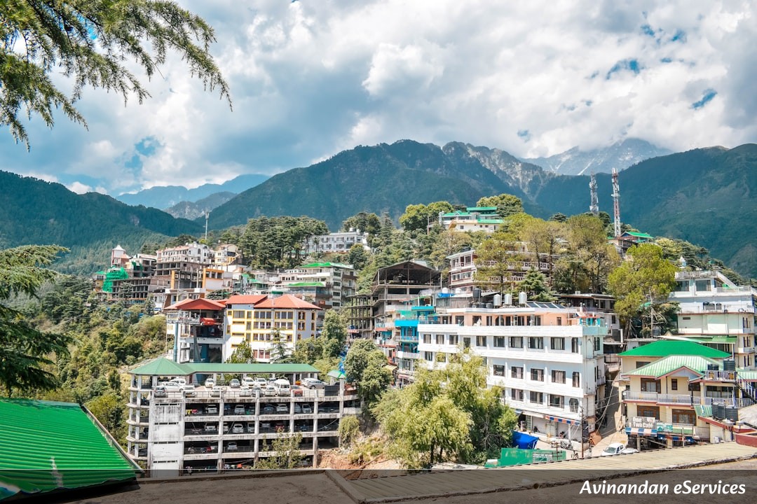
Introduction to Indian Mountains and Peaks for RRB Exams
Geography is one of the pillars of the General Awareness section in Indian Railway Recruitment Board (RRB) exams, including NTPC, Group D, and Technician grades. Within Geography, the physical features of India—specifically the mountain ranges and their highest peaks—hold immense significance. Understanding the topography of India is not just about memorizing names; it is about understanding the strategic, climatic, and ecological backbone of the subcontinent. For an RRB aspirant, knowing the difference between the Fold Mountains of the North and the Block Mountains of the Center is crucial for scoring high marks.
India is home to some of the world's most magnificent mountain systems. From the snow-capped peaks of the Himalayas in the north to the lush green ranges of the Western Ghats in the south, these landforms play a vital role in the country's monsoon patterns and river systems. In this comprehensive guide, we will break down the mountain systems of India into easy-to-digest sections, focusing on the facts most frequently asked in RRB examinations.
Topic Weightage and Importance
In RRB exams like NTPC (CBT-1 & CBT-2) and Group D, the General Awareness section comprises a significant portion of the paper (usually 40 to 50 questions). Geography typically accounts for 5-8 questions, out of which 1-2 questions are almost always dedicated to Indian Mountains, Peaks, or Passes.
Historically, RRB has focused on high-yield facts such as the highest peak in a particular state, the age of the Aravali range, and the distinction between the Eastern and Western Ghats. Mastering this topic provides a "low-hanging fruit" opportunity—once you memorize the core facts and locations, these questions can be answered in seconds, saving you valuable time for the Mathematics and Reasoning sections.
Key Concepts and Mountain Ranges of India
1. The Himalayan Mountain System
The Himalayas are the youngest fold mountains in the world. They act as a natural barrier to the cold winds from Central Asia and are the source of India's perennial rivers like the Ganga, Indus, and Brahmaputra. They are divided into three main parallel ranges:
- The Greater Himalayas (Himadri): The northernmost and highest range. It contains the world's highest peaks, including Mt. Everest (Nepal) and Kanchenjunga (India).
- The Lesser Himalayas (Himachal): Located south of the Himadri, this range is famous for hill stations like Shimla, Manali, and Mussoorie.
- The Outer Himalayas (Shiwaliks): The southernmost range, consisting of unconsolidated sediments. It is known for "Duns" like Dehradun.
2. The Trans-Himalayas
Located north of the Great Himalayan range, this region includes the Karakoram, Ladakh, and Zaskar ranges. K2 (Godwin-Austen), the second-highest peak in the world, is located in the Karakoram range (currently in PoK).
3. The Aravali Range
The Aravalis are among the oldest fold mountains in the world, now considered residual mountains. They stretch from Gujarat to Delhi through Rajasthan. The highest peak is Guru Shikhar (1,722 m) located in Mt. Abu.
4. The Vindhya and Satpura Ranges
These are located in Central India and are primarily block mountains. The Narmada river flows in a rift valley between the Vindhyas (North) and Satpuras (South). The highest point of the Satpura range is Dhupgarh (1,350 m).
5. The Western and Eastern Ghats
- Western Ghats (Sahyadri): Continuous mountains running parallel to the western coast. The highest peak is Anamudi (2,695 m) in Kerala.
- Eastern Ghats: Discontinuous and lower than the Western Ghats. The highest peak is often cited as Jindhagada Peak (Andhra Pradesh) or Mahendragiri in older texts.
- Nilgiri Hills: The point where the Western and Eastern Ghats meet. The highest peak here is Doddabetta.
Table: Important Peaks and Their Locations
| Peak Name | Height (m) | Range/Region | State/Location |
|---|---|---|---|
| K2 (Godwin-Austen) | 8,611 | Karakoram | PoK (India's highest claim) |
| Kanchenjunga | 8,586 | Himalayas | Sikkim (Highest in India) |
| Nanda Devi | 7,816 | Himalayas | Uttarakhand |
| Anamudi | 2,695 | Western Ghats | Kerala |
| Doddabetta | 2,637 | Nilgiri Hills | Tamil Nadu |
| Guru Shikhar | 1,722 | Aravali | Rajasthan |
| Dhupgarh | 1,350 | Satpura | Madhya Pradesh |
Solved Examples (Step-by-Step)
Example 1: Which mountain range is known as the 'Sahyadri' in India?
Solution: The Western Ghats are known as Sahyadri in Maharashtra and Karnataka. They form a continuous wall along the western coast of India and are a UNESCO World Heritage site.
Example 2: Arrange the following peaks from North to South: Nanda Devi, Anamudi, Guru Shikhar, K2.
Solution:
1. K2 (Karakoram - Far North)
2. Nanda Devi (Uttarakhand - North)
3. Guru Shikhar (Rajasthan - West/Central)
4. Anamudi (Kerala - South)
Step-by-step: Identify the state for each peak first, then map them on the Indian map from top to bottom.
Example 3: Why are the Aravali mountains called 'Relict' or 'Residual' mountains?
Solution: Originally, the Aravalis were massive fold mountains formed billions of years ago. Over eons, the forces of erosion (wind and water) have worn them down, leaving only the remnants of the original structure. Hence, they are called residual mountains.
Common Mistakes to Avoid
- K2 vs. Kanchenjunga: Students often get confused about which is the highest peak in India. K2 is the highest peak in the territory claimed by India (but currently in PoK). Kanchenjunga is the highest peak in the undisputed territory of India (Sikkim).
- Western vs. Eastern Ghats Height: Remember that the Western Ghats are significantly higher and more continuous than the Eastern Ghats.
- Highest Peak of Nilgiris: Do not confuse Anamudi with Doddabetta. Anamudi is the highest in the entire Western Ghats/South India, while Doddabetta is the highest specifically in the Nilgiri Hills.
- Oldest vs. Youngest: Aravalis are the oldest; Himalayas are the youngest. Students often swap these during exam pressure.
Practice Questions with Solutions
1. Which peak is known as the 'Five Treasures of Snow'?
2. The 'Zojila Pass' connects which two regions?
3. In which state is the 'Mullayanagiri' peak located?
4. Which mountain range acts as a water divide between the Ganga and the Indus river systems?
5. Name the highest peak of the North-East state of Nagaland.
6. Which range is situated between the Narmada and Tapti rivers?
7. What is the traditional name of the Outer Himalayas?
Solutions:
1. Kanchenjunga (due to its five high peaks).
2. Srinagar and Leh.
3. Karnataka (It is the highest peak in Karnataka).
4. Aravali Range (specifically the Delhi ridge area).
5. Mount Saramati.
6. Satpura Range.
7. Shiwaliks.
Frequently Asked Questions (FAQs)
1. Is Mount Everest located in India?
No, Mount Everest, the world's highest peak (8,848.86 m), is located on the border between Nepal and China (Tibet). It is not in India.
2. What is the difference between a Fold Mountain and a Block Mountain?
Fold Mountains (like Himalayas) are formed by the collision of tectonic plates, causing the crust to fold. Block Mountains (like Satpura) are formed when large areas of the earth's crust are broken and displaced vertically.
3. Which is the highest peak in South India?
Anamudi, located in the Eravikulam National Park in Kerala, is the highest peak in South India with an elevation of 2,695 meters.
Conclusion and Final Tips
Mastering the mountains and peaks of India is a surefire way to boost your General Awareness score in RRB exams. The key is visualization. Instead of just reading the names, look at a physical map of India and trace the ranges with your fingers. Connect the peaks to the states they reside in to create a mental map.
Remember, RRB exams often repeat questions from previous years, so focus on the "Highest," "Oldest," and "Southernmost" superlatives. Keep revising the table provided above, and you will be well-prepared to tackle any question on this topic. Stay consistent in your preparation, and success will surely be yours!